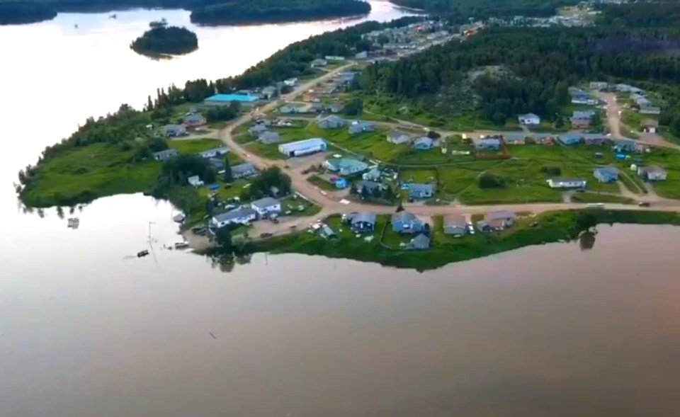
The Saskatchewan Water Security Agency (SWSA) has issued an emergency advisory due to high water levels in far north Saskatchewan, including at Island Falls and Sandy Bay.
The advisory was issued July 17, stating that water levels are "extremely high in many water systems in the far north."
"These high water levels are being closely monitored and residents should avoid the water and be exercising extreme caution when accessing water systems if travel is necessary," reads the advisory.
Water levels at the Island Falls Hydroelectric Station are anticipated to be higher than any other levels on record since the dam's construction in 1930. Water flow through the dam is expected by the SWSA to reach as high as 2,500 cubic metres per second July 23. Water levels are expected to peak in the community next week.
According to statistics from the SWSA, the Churchill River is flowing at about 2,240 cubic metres per second at Sandy Bay as of July 17.
The forecast for July 17 and 18 calls for rain in the Island Falls/Sandy Bay area. Sandy Bay is located across the Churchill River from the dam.
"Residents living in close proximity to the affected water systems should follow directions of local authorities, comply with restrictions and take all necessary precautions," reads the SWSA advisory.
No known plans for emergency flood measures or evacuations are known for Sandy Bay or any other communities along the Churchill River.
In Manitoba, high water level warnings have been announced for communities along the Churchill River system including Pukatawagan and Mathias Colomb Cree Nation, Granville Lake and Leaf Rapids.
Information from the Manitoba Hydrologic Forecast Centre (HFC) and Water Survey of Canada at last check show the recorded river flow north of Leaf Rapids is now higher that it has been in mid July since 1973, trending upward as water continues to pour in from Saskatchewan. The river is now seeing nearly 1,700 cubic metres per second of water rushing north of Leaf Rapids.
Water level information released by the HFC July 9 stated that water levels at Pukatawagan are expected to peak this week, rising by as much as five to seven feet. Both Granville Lake and Leaf Rapids are expected to see rises in the next week and peaks in two or three weeks, with water levels expected to rise as much as 10 feet.
A July 15 SWSA advisory stated "very high water levels" have been found in the Churchill River system and the basin north of Cumberland House. At Cumberland House, the SWSA is anticipating a peak water level of 268.01 metres, expecting the peak to hit July 25.
The Churchill River system runs through both northern Saskatchewan and northern Manitoba, running north of the Flin Flon area through a series of northern lakes and rivers to Hudson Bay.
The Sturgeon-Weir River, which includes Amisk Lake, meets the Churchill River at Frog Portage, located about 50 kilometres northwest of Pelican Narrows.


